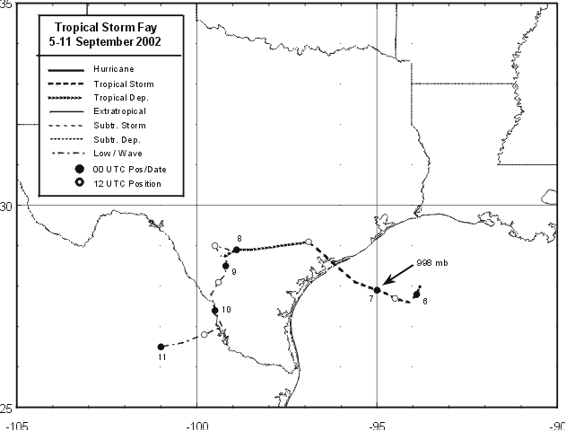
Tropical Storm Fay developed from an area of disturbed weather that included a broad, non-tropical low
pressure system over the northwestern Gulf of Mexico. During the first few days of September, a broad
mid- to upper-level trough moved southward from the United States and became stationary across the
northern Gulf of Mexico. Thunderstorms developed along a surface low pressure trough that hugged the
northern Gulf of Mexico coastal areas. Gradually, the trough and a series of weak low pressure systems
drifted southward over the very warm waters of the Gulf. A low in the northwestern Gulf of Mexico
became the dominant circulation and developed persistent deep convection near the low-level center
by 4 September. On 5 September, an Air Force Reserve Reconnaissance aircraft investigated the system
when it was centered about 85 n mi southeast of Galveston, Texas and found that a tropical depression
had formed by noon.
The depression moved steadily south-southwestward and strengthened
fairly
quickly, becoming
Tropical Storm Fay on the evening of the 5th about 110 n mi southeast
of Galveston. Fay moved
south-southwestward for 12 hours before turning toward the west where
it reached its peak intensity
of 60 mph on the morning of the 6th. Shortly thereafter,
Fay turned and moved
erratically west-
northwestward and maintained intensity until landfall
occurred early on
the morning of the 7th
on the southern Matagorda Peninsula near Port
O'Connor, Texas. As it made landfall, the broad
circulation reformed in a convective
complex farther north,
northwest of Palacios. Fay then
made a sharp turn toward the west and
accelerated. With
more of the circulation being over land,
the faster forward speed
hastened
the weakening
process and by the night of the 7th, Fay had
degenerated into a remnant
low pressure
system about 30 n mi southwest of Hondo, Texas. The
rather tenacious
remnant low
meandered across southern Texas and northeastern Mexico for another
3 days producing
copious amounts of rainfall before finally dissipating about 65 n mi
northwest of
Monterrey, Mexico. Its residual thunderstorm activity drifted
through northeast Mexico, back into
the Western Gulf of Mexico before dissipating. Below is the track of
Fay, furnished by the National
Hurricane
Center.
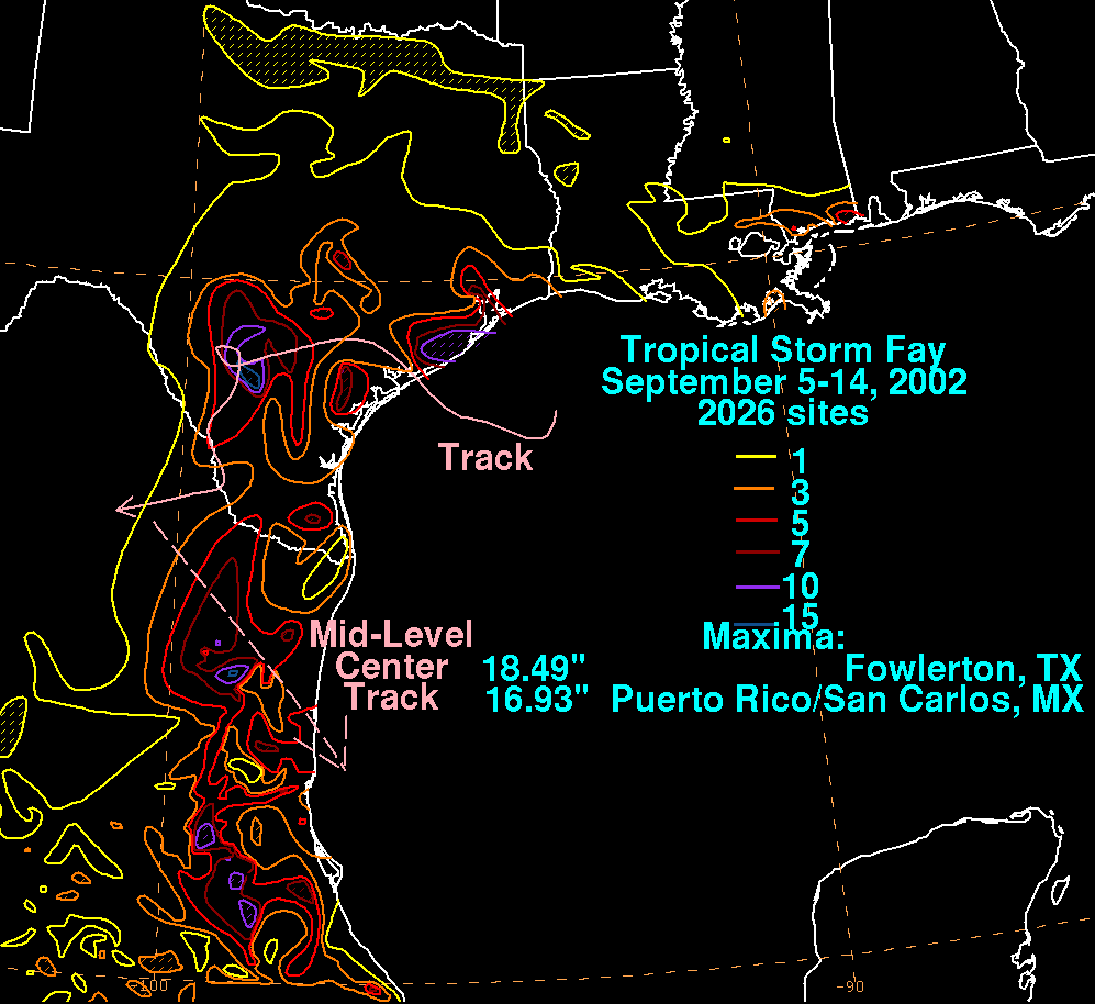
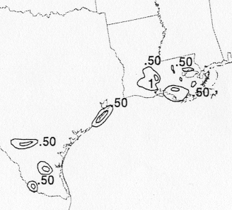
The storm total rainfall map below was constructed using data from
the
National Climatic Data Center. Note
the maxima near the point of landfall , with a second maximum near
where the cyclone looped in Deep South
Texas on the 8th.
 |
|
|
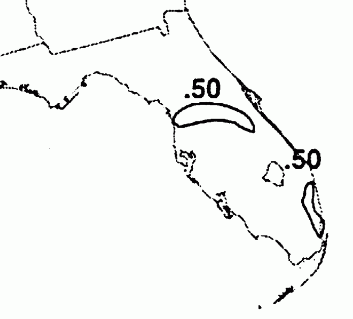
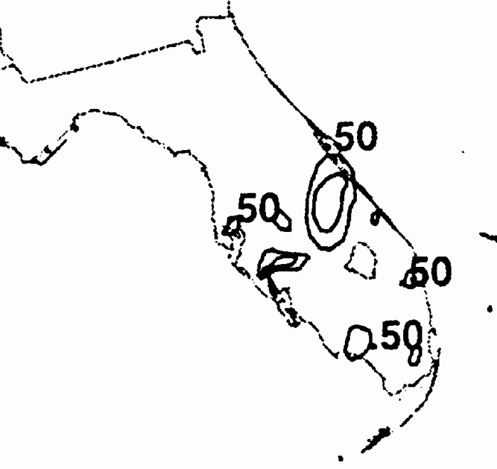
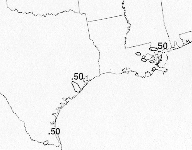
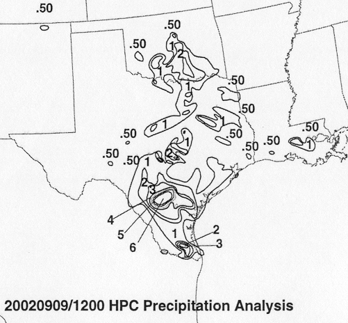
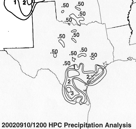
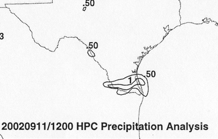
Below are the calendar for Daily Precipitation Maps. Note that the 24-hour periods end at 12z that morning.